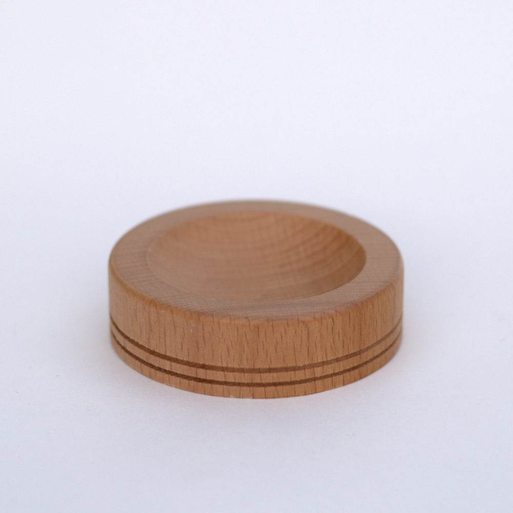
6" in Diameter
HENRI II
HENRI II
Couldn't load pickup availability
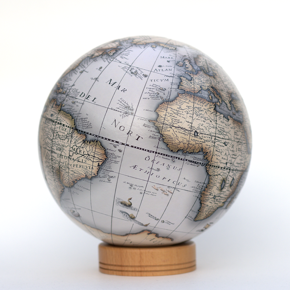
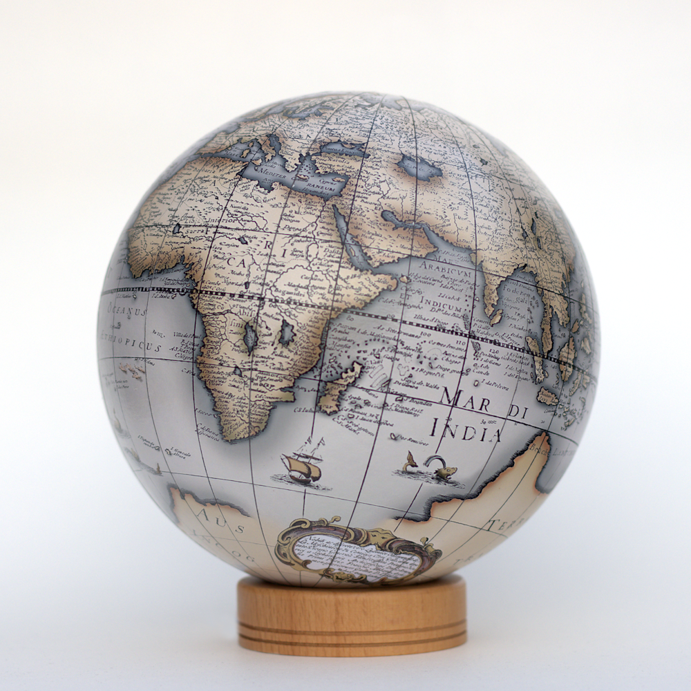
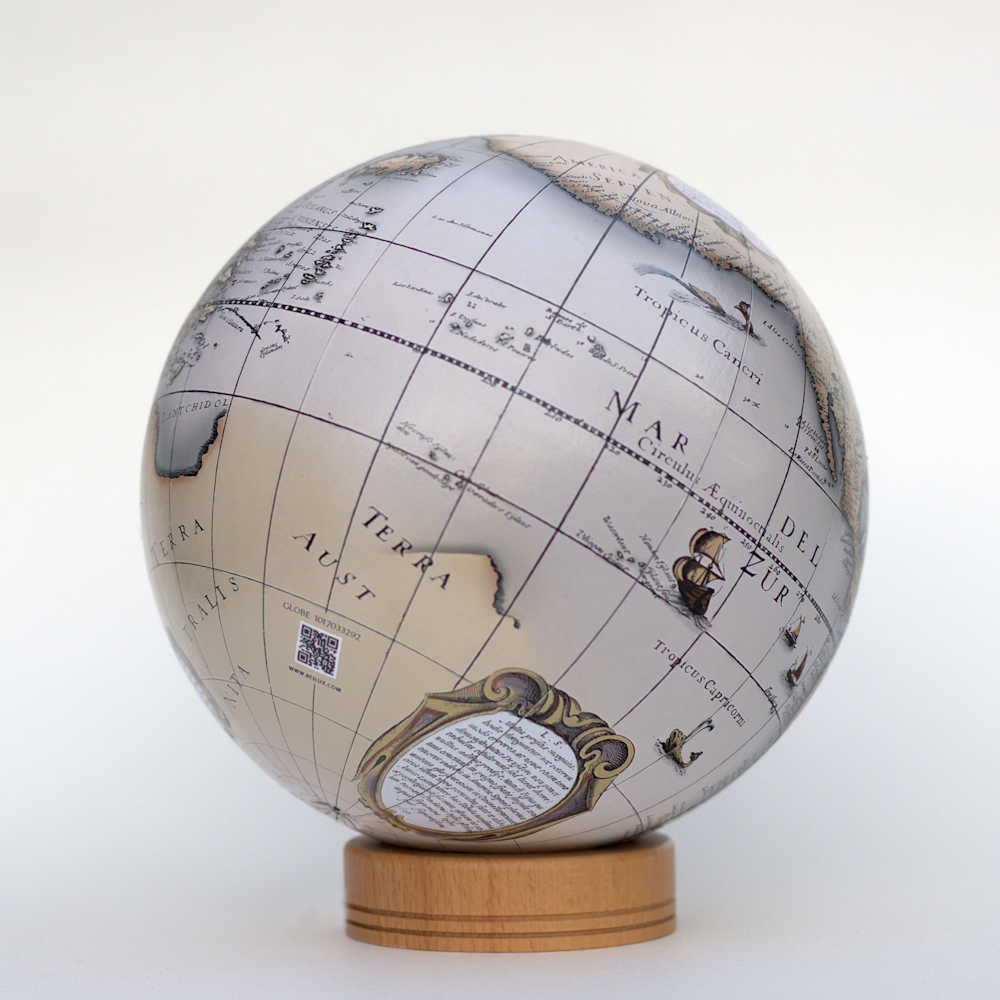
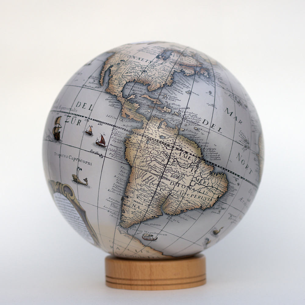
This is one of the most famous and elaborately detailed world maps of the 17th Century, published in Amsterdam. As a result of its popularity, this baroque styled map served as the basis for other cartographers at the time.
By the 1620s, many mapmakers chose to depict the California peninsula as an island. These included this map’s creator, Henricus Hondius, who published the atlas map in 1636. Several geographic features included on this map stand out, including California as an island, the Australian coastline, and other interesting attributes.
The map used to create this globe is named “Nova Totius Terrarum Orbis Geographica AC Hydrographica Tabula.” The work was done by the cartographer Jodocus Hondius and the engraver Henri Le Roy in 1636.
The overall design was not altered with the exception of the original coordinate lines, which would have resulted in a mismatch on the reprojection. Some small imperfections obtained from the source image still remain.
Share
